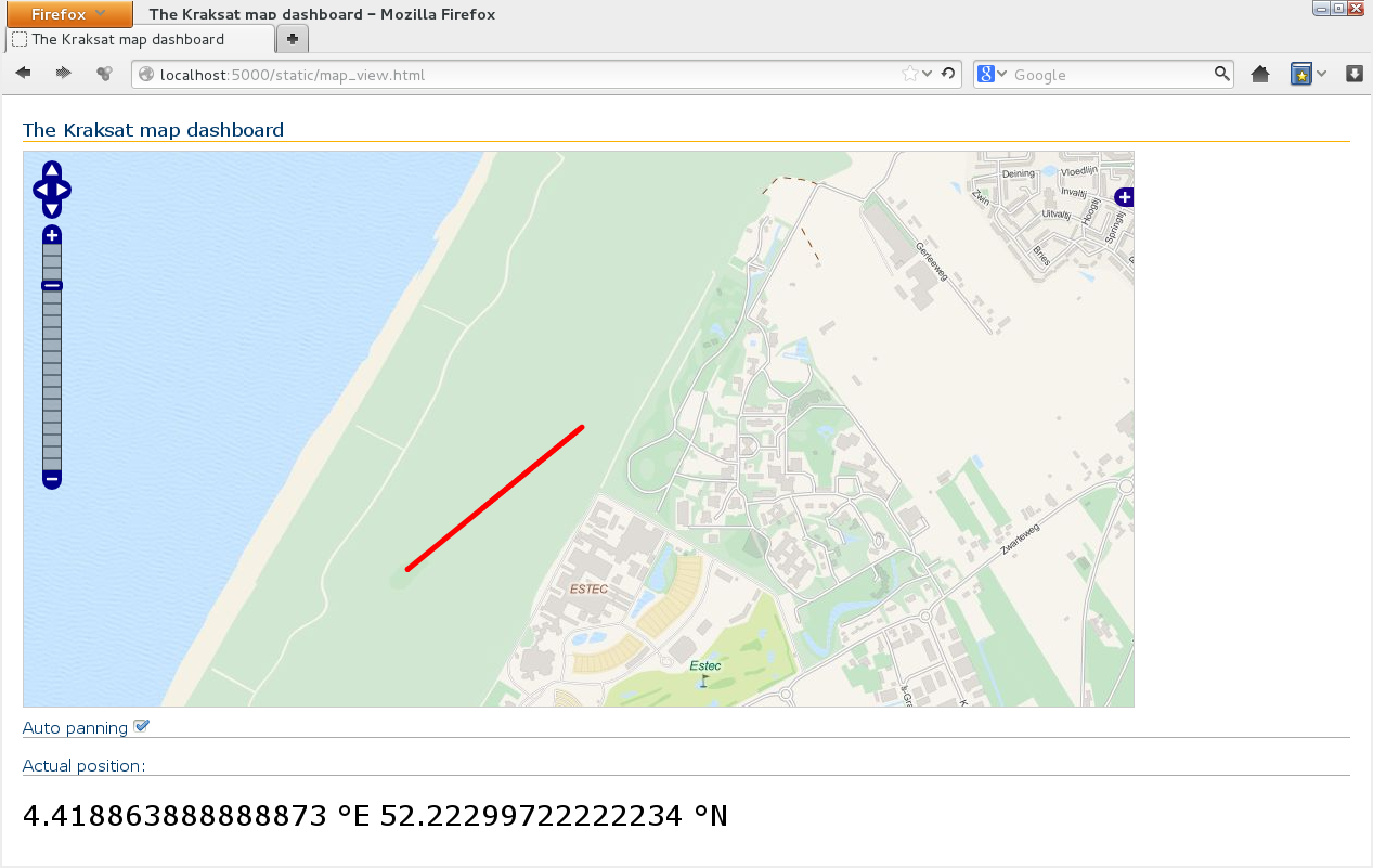
Archive by Author

Map2d

Map2d is an another piece of software we made. It allows us to track the can in two dimensions during its flight. Everything works in a web browser. Open source OpenLayers library was used in the code. Tiles were downloaded to the server in advance, because the application is intended for offline work.

Screenshot

Screenshot

Our sponsor – National Instruments

ni logo

We are happy to announce that National Instruments Corporation has become our sponsor.

As a part of the cooperation we have received six licenses for LabView; in return we will take part in students’ projects contest and prepare a presentation of our usage of LabView for NI Days, which are usually held in October. We hope that our cooperation will be fruitful.

What are we going to program with LabView:

  • data analysis
  • 3d view of can in real time
  • data presentation (DIAdem)

[VLOG] #1 Pierwsze spojrzenie na misję Kraksat [EN]

[VLOG] #1 The first look at KrakSat mission